
Drainage Design
Drainage Design
Drainage Planning & Design
Drainage for Transportation
• Stormwater management system design for FDOT, County and municipal transportation facilities including airports, interstate, turnpike, urban, and rural roadways
• Drainage retrofit of stormwater management systems for transportation facilities
• Drainage for Resurfacing, Restoration and Rehabilitation (3R) projects
• Storm sewer network analysis using ASAD and Geopak Drainage
• Pond siting analysis for PDE studies
• Hydraulic analysis of existing roadway culverts and floodplain statements
• Bridge Hydraulic Report (BHR) analysis preparation, including scour analysis.
• Sea Level Rise studies and implementation of resilience improvements, including backflow prevention and pump station design.
Storm Water Management
• Design and specifications of channels, storm sewers, and retention/detention
• Environmental Resource Permitting (ERP)
• Hydrologic and hydraulic modeling with HEC-HMS, HEC-RAS, WSPRO, HY-8, ASAD, Geopak Drainage, FlowMaster, StormCAD, SewerCAD, WaterCAD, AdICPR versions 3 and 4, and XPSWMM.
• Level of service (LOS) analysis of existing drainage systems for retrofit engineering design, permitting, and implementation.
• Hydraulics & Hydrology (H&H)/water quality modeling for regulatory compliance (NPDES/TMDL’s) studies.
• Benefit/Cost analysis of alternative water management plans.
Watershed Master Planning
• Hydrologic and hydraulic (H&H) modeling of local and regional watersheds using one, two-dimensional and hydrodynamic surface water models, point and non-point source water quality models.
• Regional watershed water supply optimization analysis, wetland watershed ecosystem hydroperiod analysis, and watershed environmental restoration.
• Typical computer models applied include: SWMM, XPSWMM, ICPR (versions 3 and 4).
• Arc Hydro database development and interface for H&H modeling.
• ArcGIS for GIS for H&H modeling database development, environmental assessment and mapping.
• ARC GIS tools for H&H data creation
• Master planning for Capital Improvement Plan Implementation (CIP)
FEMA Pre-Flood Planning Mapping and Post-Flood Damage Assessment
• Preparation of FISs, PMRs, CLOMRs and LOMRs with acceptance by FEMA
• Preparation of countywide DFIRM Maps, DFIRM databases and FISs, with MIP data management
• Use of geospatial data with GIS and AutoCAD in hydrologic and hydraulic modeling, floodplain map preparation and database creation
• Hydraulic modeling of river systems, in both 1-D and 2-D, using steady-state and unsteady modeling techniques
• Evaluation and delineation of floodplains and floodways in normal, split flow and looped flow situations
• Use of industry standard automated tools, as well as the development and use of in-house automated tools, for hydrologic and hydraulic modeling applications, floodplain and floodway delineation, and DFIRM/FIS production
Flood Control Engineering
• Floodway encroachment analysis using HEC-RAS, WSPRO, XPSWMM, ICPR versions 4
• Utilizing LiDAR data to produce Digital Elevation Model (DEM) for terrain modeling.
• Flood relief operational plan development and computer simulation

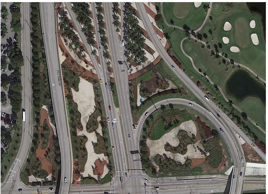
Lejeune Road Ponds
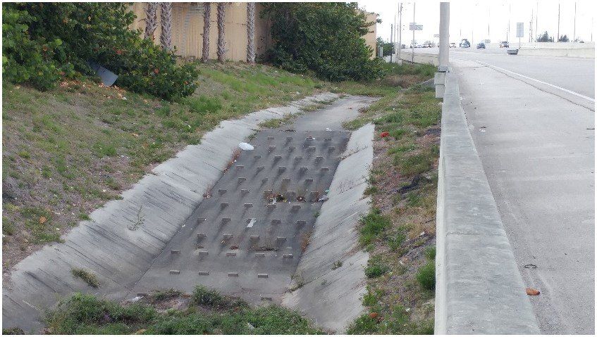
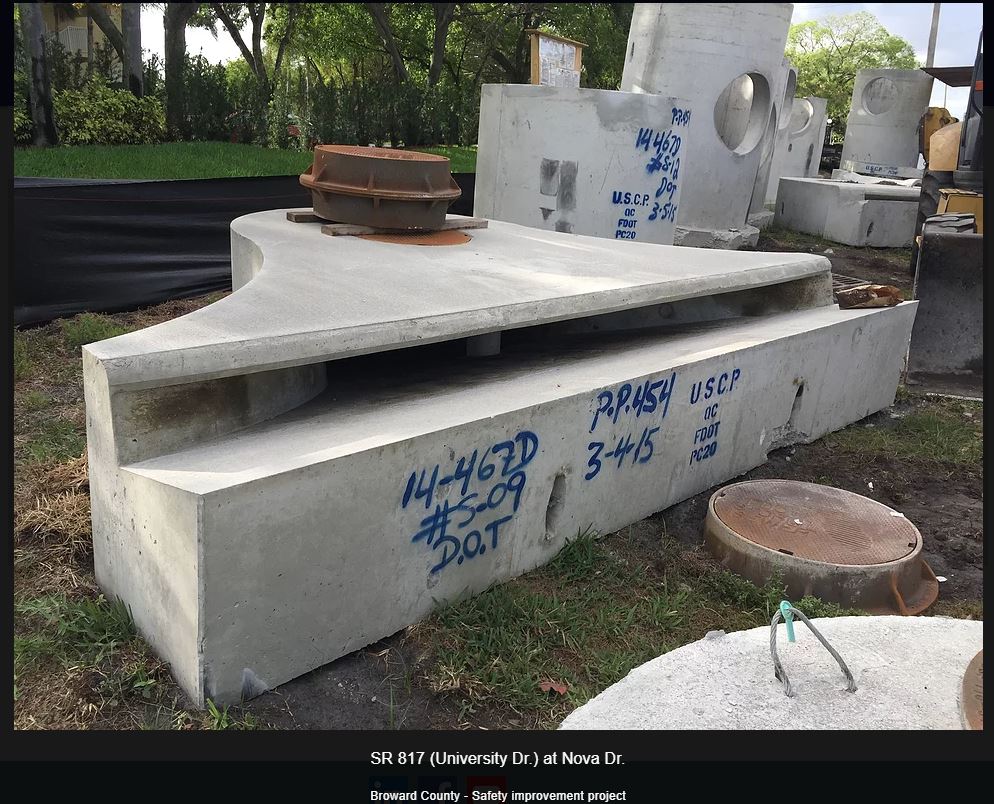
SR 817 (Broward County)
OUR LOCATIONS

5713 Corporate Way, Suite 200
West Palm Beach, Florida 33407
WEST PALM BEACH
Corporate Office
5713 Corporate Way, Suite 200
West Palm Beach, FL 33407
Ph: 561.429.5065
MAITLAND
2301 Maitland Center Parkway, Suite 200
Maitland, FL 32751
Ph: 407.440.3512
TAMPA
12620 Telecom Drive
Tampa, FL 33637
Ph: 813.988.1199
PLANTATION
8751 W Broward Blvd, Suite 307
Plantation, FL 33324
Ph: 954.716.6624